

365 Rivers of Dominica
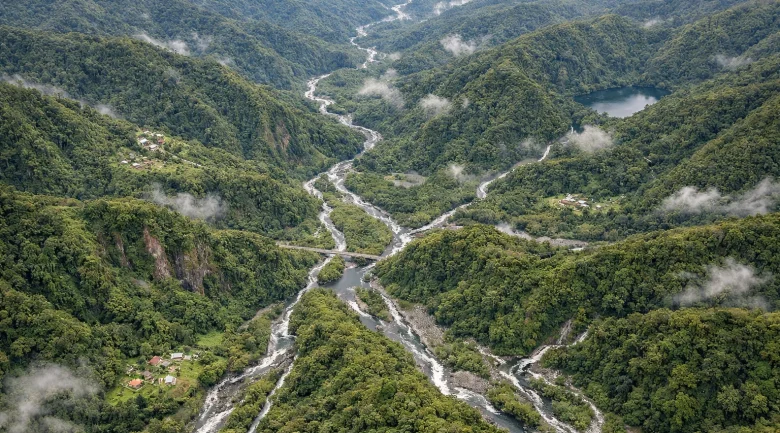
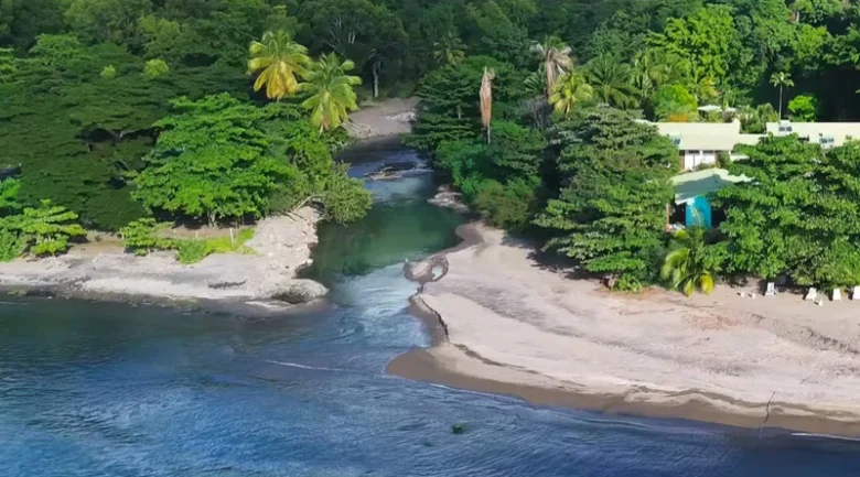
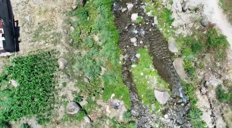
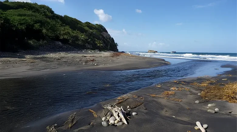
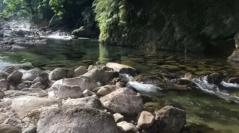
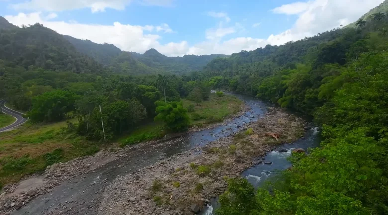
The Commonwealth of Dominica is celebrated globally as the Land of 365 Rivers, a poetic and powerful designation that suggests a different waterway for every day of the year. While the literal count of permanent and ephemeral streams across the island’s 290 square miles far exceeds this symbolic number, the phrase encapsulates the hydrological essence of the Caribbean’s most rugged territory. In the Nature Isle, rivers are not mere background scenery; they are the island’s fundamental lifeblood. They provide the kinetic energy for hydroelectric power, sustain a world-class primary Public Health System through clean water access, and form the backbone of a Green Economy that prioritises ecological integrity.
From the thunderous, mist-shrouded heights of Trafalgar Falls to the brackish, primordial silence of the Indian River, the island’s freshwater systems are a direct consequence of its dramatic volcanic topography. Currently, these rivers face the dual challenges of climate-induced volatility and the need for sustainable management. To understand the rivers is to understand the soul of the island itself, a place where water is not just a resource, but a constant companion.
Geological and Meteorological Origins: The Sky’s Gift
Dominica’s abundant water is a product of its unique geological architecture. As a relatively young volcanic island, it has steep, jagged mountains capable of extreme orographic lifting. When the moisture-rich Atlantic trade winds encounter the towering peaks of Morne Diablotins and Morne Trois Pitons, the air is forced upward, where it cools and condenses into near-constant rainfall. The interior rainforests receive upwards of 7,500 mm to 10,000 mm of rain annually, making them some of the wettest places on the planet.
This water does not simply run off the surface. The island’s volcanic substructure acts as a massive sponge. Rainwater filters through porous basalt and andesite layers, filling deep subterranean aquifers before erupting as thousands of cold-water springs. These springs coalesce into the island’s 35 major watersheds. Unlike the low-lying limestone islands of the Caribbean, which struggle with water scarcity and rely on expensive desalination, the island of Dominica possesses a surplus so great that it defines the national identity. This liquid gold is filtered naturally by miles of volcanic rock, resulting in water that is incredibly pure and rich in essential minerals.
Hydroelectric Power: Generating Energy from the Peaks
Currently, the 365 rivers provide a level of energy independence that is rare in the region. The Dominica Electricity Services (DOMLEC) manages a sophisticated hydroelectric system that utilises the steep gradients of the Roseau Valley. By capturing the kinetic energy of the Roseau River, the island generates a significant portion of its domestic electricity from a completely renewable source. This system is a primary reason why the island is a regional leader in green energy.
The system currently operates three main power stations in a cascade formation:
- Laudat Power Station: Situated at the highest elevation, utilizing water from the Freshwater Lake.
- Trafalgar Power Station: Leveraging the massive drop of the iconic twin falls (Father and Mother falls).
- Padu Power Station: The final stage in the cascade before the water returns to the lower Roseau River.
These stations combined can provide up to 40% of the island’s peak electricity demand under optimal flow conditions. There is significant potential for expansion into the south-east and northern parishes. Rivers like the White River and the Hampstead River offer untapped head pressure that could theoretically support small-scale run-of-the-river hydro projects without the need for large dams. By integrating hydro-power with the burgeoning geothermal energy projects in the Roseau Valley, Dominica is on a clear path to achieving 100% renewable energy generation, making it a global model for climate-resilient infrastructure.
The Blue Economy and the Potential for Water Export
In a world increasingly defined by water scarcity, the island’s freshwater is its most strategic liquid asset. The concept of Bulk Water Export has moved from a theoretical possibility to a pillar of the proposed Blue Economy strategy. Currently, neighboring islands such as Antigua, St. Kitts, and the Virgin Islands face chronic water stress, often relying on desalination plants that are expensive to run and environmentally taxing.
The potential for water export is anchored in several key areas:
- Bulk Tanker Export: Utilising deep-water piers, such as those near Portsmouth, to fill specialized tankers for regional distribution. This could provide a relief valve for neighbouring nations during prolonged droughts.
- Bottled Water Industry: Capitalising on the Nature Isle brand to export high-quality, volcanic-filtered spring water to international markets. Currently, several local brands already dominate the domestic market and are beginning to penetrate the wider Caribbean.
- Geopolitical Stability: By serving as the water tower of the Caribbean, Dominica can leverage its resources to strengthen regional ties and disaster resilience, ensuring that water security becomes a shared regional priority.
The government maintains a cautious approach to this potential, ensuring that any export agreements do not compromise the domestic supply, the rights of the Kalinago people, or the ecological health of the watersheds. The legal framework for these exports is managed through the Dominica Water and Sewerage Company (DOWASCO).
The Heartbeat of the Village: Rivers as the Social Fabric
While scientists and economists view the rivers through the lens of data and kilowatt-hours, the local population views them as the heartbeat of community life. In Dominica, the river is a relatable, living entity that hosts the most important social rituals of the week. This is where the true Nature Isle spirit is found.
The Sunday River Cook
Nothing is more quintessentially Dominican than the Sunday River Cook. Families and friends gather by their favorite river pool, bringing along large coal pots, yams, dasheen, and fresh seasonings. As the sancoche or pelau simmers over an open fire, the river provides the perfect cooling sanctuary. These gatherings are the primary way news is shared, and bonds are strengthened.
Childhood and the River Bath
For children in the villages, the river is the ultimate playground. It is where they learn to swim, catch crayfish (freshwater shrimp) with their bare hands, and respect the power of nature. The river bath is not just about hygiene; it is a spiritual reconnection. The sound of laughter echoing along the rocky banks of the Layou River or Picard River defines childhood for thousands.
A Natural Laundry and Meeting Place
In many rural communities, the river remains a place where people gather to wash clothes or vehicles. It serves as a natural town square where the latest village news is discussed. The rhythmic sound of clothes being beaten against the volcanic stones is a traditional percussion that has echoed through the valleys for centuries. This shared use of the river fosters a sense of collective ownership and a deep-seated desire to keep the water clean.
Major River Systems: Detailed Profiles
Each of the major river systems supports a unique micro-ecosystem, many of which were first documented during the Bredin-Archbold-Smithsonian Biological Survey.
The Layou River
The Layou River is the western giant, the longest and largest river system on the island. It drains the massive central forest reserve and is a broad, powerful waterway. It is a vital source of aggregate for the industry and a primary habitat for the Mountain Chicken frog. The river’s massive alluvial plain is one of the island’s most fertile agricultural zones, supporting vast plantations of bananas and citrus fruits.
The Indian River
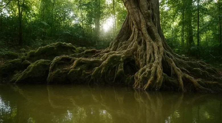
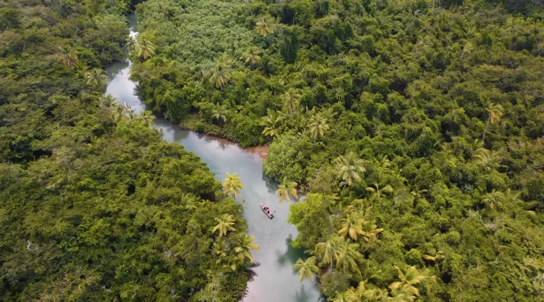
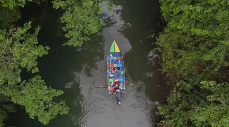
Located near Portsmouth, the Indian River is a slow-moving, brackish estuary. It is famous for its buttress-rooted Bwa Mang trees, which stabilize the banks. This river is a strictly protected area; motorised boats are prohibited to protect the fragile ecosystem of crabs, herons, and iguanas. It is a cornerstone of the island’s eco-tourism brand, offering a silent experience that feels like a trip back in time.
The White River
Flowing from the Boiling Lake and the Valley of Desolation, the White River earns its name from its milky appearance, caused by high concentrations of suspended minerals and sulfur. It is an acidic, hot-to-warm river that demonstrates the island’s ongoing geothermal activity. It is the source of the thunderous Victoria Falls, one of the most majestic sights in the Caribbean.
The Pagua River
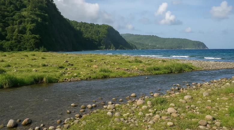
Dominating the eastern (Atlantic) side, the Pagua River is known for its rugged beauty and its historical significance to the Kalinago Territory. It represents the wilder, more turbulent nature of the windward coast, carving deep channels through the forest before meeting the crashing waves of the Atlantic.
Climate Resilience and River Training
While the rivers are a source of life, they can also be a source of destruction. The extreme topography makes the island prone to flash flooding of such intensity that it can reshape the landscape overnight. During Hurricane Maria in 2017, the 365 rivers essentially became conveyor belts for boulders and uprooted trees, causing massive damage to bridges and coastal infrastructure.
Currently, the government’s Build Back Better initiative focuses heavily on River Training. This involves:
- Dredging and Channeling: Deepening river channels, especially near coastal settlements, to increase their capacity for storm surges.
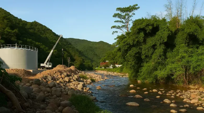
- Gabion Reinforcement: Using rock-filled wire baskets to stabilize banks and prevent the erosion of precious agricultural land.
- Resilient Infrastructure: Constructing bridges with significantly higher clearances and reinforced abutments to withstand the hydraulic pressure of extreme weather events.
These engineering efforts are complemented by reforestation projects along riverbanks, recognizing that the roots of trees are the most effective natural defense against riverbank collapse.
A Traveller’s Guide to the 15 Iconic Rivers
To truly experience the Nature Isle, one must visit its diverse waterways. Below are fifteen rivers that showcase the island’s hydrological variety:
- Indian River: Best for a silent, guided boat tour through ancient mangrove forests.
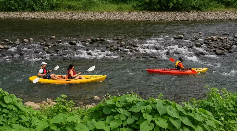
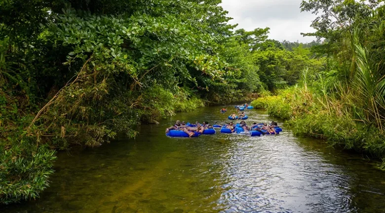
- Layou River: Best for river tubing and witnessing the island’s largest and most powerful watershed.
- Roseau River: Best for seeing the intersection of modern hydro-power and natural hot springs.
- White River (Rivière Blanche): Best for an adventurous hike up to the mineral-rich Victoria Falls.
- Hampstead River: Best for deep, crystal-clear swimming holes surrounded by coconut groves (featured in several films).
- Pagua River: Best for experiencing the wild Atlantic coast and the heritage of the Kalinago Territory.
- Rosalie River: Wide river originating from Morne Trois Pitons reaching the Atlantic’s turtle beaches.
- Boeri River: High-altitude river fed by mountain lakes providing essential hydroelectric power for Dominica.
- Sari-Sari River: Adventurous southeastern waterway requiring multiple crossings to reach its namesake towering waterfall.
- Picard River: Flows through the northern agricultural belt, offering a glimpse into local farming life.
- Checkhall River: A popular weekend spot for locals to enjoy a traditional river cook and social bathing.
- Belles River: Scenic rainforest waterway located deep within the lush heart of Dominica.
- Belle Fille River (Castle Bruce River): Large eastern river flowing through a wide valley into the Atlantic.
- Geneva River: Beautiful southern river situated near the historic village of Grand Bay.
- Toulaman River: Remote northern river winding through dense forest and wild tropical terrain.
The Soul of the Land
The 365 rivers are a magnificent testament to the island’s raw power and biological richness. Whether they are powering a lightbulb in Roseau, providing a habitat for a rare species of crab, or offering a quiet place for a traveller to reflect, these waterways are the pulse of the Caribbean’s most pristine island. In the wet season, they roar with the strength of the Atlantic; in the dry season, they provide a cool, emerald sanctuary. They are, quite literally, the life of the land.
Despite the heavy downpours that characterise the interior, the rainy season is when the Nature Isle truly reveals its majesty. The 365 rivers are at their most vibrant, and the famous waterfalls roar with a power that is both humbling and exhilarating. The landscape is a lush, emerald paradise, inviting the intrepid traveller to soak in the natural sulfur springs or hike through the mist-covered peaks of the world-renowned national parks. It is a place where the air is pure, the water is life, and the spirit of adventure is found around every river bend. To protect these rivers is to protect the very essence of Dominica.


References
-
1.
Country profile – Dominica https://openknowledge.fao.org/server/api/core/bitstreams/a07a0a98-a2ab-4147-adb3-4d2a54f651a4/content
-
2.
List of Rivers & Waterways in OpenStreetMap in Dominica https://waterwaymap.org/river/region/DM-Dominica/
-
3.
Britannica: Geography of Dominica https://www.britannica.com/place/Dominica
-
4.
Kiddle: Dominica River Facts for Kids https://kids.kiddle.co/List_of_rivers_of_Dominica
-
5.
Historical Context on the "365 Rivers" Local Lore and Geography: New World Encyclopedia https://www.newworldencyclopedia.org/entry/Dominica
-
6.
Unmissable Insider Guide to Dominica. Discover a Wonderful Caribbean Natural World https://www.tripreporter.co.uk/unmissable-insider-guide-to-dominica/