


Watersheds of Dominica
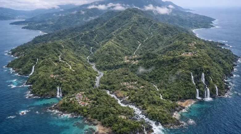
The Watersheds of the Commonwealth of Dominica serve as the vital lifeblood of the “Nature Island,” acting as the primary collection and distribution systems for the 365 rivers that define the country’s volcanic landscape. As of March 2026, the island is officially divided into 35 designated watershed management areas. These watersheds are the primary sources for the nation’s 47 independent river intakes, providing 100% of the island’s potable water and a significant portion of its renewable energy through hydroelectricity.
The management of these areas is a critical pillar of Dominica’s goal to become the world’s first climate-resilient nation, as the steep, volcanic terrain makes these basins highly susceptible to flash flooding and landslides.
The Ten Primary River Basins
Dominica’s topography is carved by ten dominant river systems that manage the highest volumes of rainfall on the island. These watersheds are perennial, meaning they flow year-round even during the driest months.
| Watershed / River | Geographic Region | Strategic Economic Value (2026) |
| Layou River | West Central | The island’s largest basin; critical for the construction aggregate industry and agriculture. |
| Roseau River | South West | The “Energy Basin”; fuels multiple DOMLEC Hydroelectric stations and the Roseau Valley tourism corridor. |
| Indian River | North West | A protected mangrove estuary; the centerpiece of the Portsmouth eco-tourism economy. |
| Pagua River | East Coast | The largest Atlantic-draining system is essential for the Kalinago Territory. |
| Castle Bruce River | East | A massive alluvial plain that supports the island’s eastern breadbasket farming belt. |
| Rosalie River | East | Integrates high-altitude rainforest protection with coastal sea turtle nesting sites. |
| Picard River | North West | Supplies the growing residential and educational hub of the Portsmouth/Picard area. |
| Hampstead River | North | Famous for its deep volcanic pools and historical site value for international film productions. |
| Blenheim River | North | Drains the northern slopes of Morne Aux Diables; vital for northern irrigation. |
| Clyde River | North East | The primary water source for the infrastructure surrounding the Douglas-Charles Airport. |
Dominica’s 35 designated watershed
Below is the list of the officially recognized watershed areas in Dominica, categorized by their general geographic orientation.
The North and North-East Watersheds
These eleven northern catchments drain steep volcanic slopes, supporting Portsmouth’s eco-tourism and critical infrastructure, such as the airport. They provide reliable, perennial water essential for large-scale agricultural production and local communities.
- Morne Aux Diables Complex: Drains northern volcanic slopes near Penville, protecting high-altitude forests to ensure stable groundwater recharge for surrounding coastal fishing villages.
- Cabrits Douglas Bay Complex: Manages coastal catchments near Portsmouth, protecting the North Cabrits swamp and nearshore marine environments that are vital to heritage tourism and history.
- Indian River Watershed: A protected mangrove estuary near Portsmouth featuring Bwa Mang trees; it is the cornerstone of the island’s slow-moving eco-tourism brand.
- Blenheim River Watershed: A perennial system vital for Paix Bouche irrigation; it ensures food security for the northern agricultural belt and local farming communities.
- Picard River Watershed: Drains the western slopes of Morne Diablotins, supporting the Picard residential hub, educational institutions, and growing tourism infrastructure in the Portsmouth area.
- Hampstead River Watershed: Renowned for deep volcanic swimming holes and film sites, this basin serves as a critical biodiversity corridor for several endemic species.
- Salée River Watershed: Drains rugged interior slopes into northern settlements; provides high-quality freshwater, essential for local small-scale farming and daily domestic water use.
- Jargie Ravine Watershed: A smaller northern system characterised by steep forest-covered slopes that support rural agricultural plots and local mountain water supply needs.
- Woodfordhill Complex: Features the largest northeast watershed flowing through Woodford Hill; its massive alluvial plains support large-scale agricultural production and local food supply.
- Eden River Watershed: Drains the fertile Eden Estate area near Wesley; it contributes significantly to the region’s rich agricultural output and rural livelihoods.
- Clyde River Watershed: Provides crucial water for the Douglas-Charles Airport area; it drains the northern interior with steady, reliable year-round flows for infrastructure.
The East Coast (Atlantic) Watersheds
Facing the rugged Atlantic, these seven basins are vital for the Kalinago Territory and the eastern agricultural belt. They sustain diverse ecosystems, including turtle nesting sites and majestic waterfalls throughout.
- Pagua River Watershed: The largest Atlantic-draining system; it is a vital spiritual and practical resource for the inhabitants of the Kalinago Territory.
- Morne La Source Complex: Drains rugged eastern slopes near Castle Bruce; it supports isolated farming communities and serves as a habitat for rare flora.
- Good Hope Complex: A steep eastern basin providing freshwater to San Sauveur; it is essential for domestic use and maintaining Atlantic reef health.
- Belle Fille River Watershed: Drains the massive Castle Bruce alluvial plain; it supports the “breadbasket” farming belt known for high-volume banana and citrus production.
- Rosalie River Watershed: Drains the central rainforest reserve into a wide bay; famous for sea turtle nesting sites and proximity to majestic scenic waterfalls.
- Quayaneri-Morne Jaune Complex: An eastern unit focused on land rehabilitation; it provides essential water for agricultural lands and sustains livelihoods in Morne Jaune.
- Sara-Sari River Watershed: Drains high-altitude eastern forests, feeding the majestic Sari Sari Falls while providing essential water for downstream farming and residences.
The South and South-East Watersheds
These nine southern systems encompass Dominica’s industrial and energy heartland. From geothermal activity and hydroelectric power to municipal water for the capital, they drive the nation’s essential utility and infrastructure.
- Boeri Watershed: A high-altitude basin near Freshwater Lake; it is critical for the island’s hydroelectric power generation and mountain biodiversity conservation.
- Roseau River Watershed: The nation’s “Energy Basin” supporting multiple hydroelectric stations; it provides the primary municipal water supply for the capital city, Roseau.
- Sibouli River Watershed: Known for pure spring-fed waters in the south; it provides municipal water to surrounding southwestern communities and local agricultural plots.
- Boetica Complex: Drains the southeastern interior through deep volcanic ravines; it serves as the primary water source for the Boetica and Giraudel regions.
- Pointe Mulatre Watershed: A remote southeastern catchment known for pristine forest cover; it serves as a critical habitat for rare, endemic Dominican birds.
- Petite Savanne Complex: Mineral-rich system fed by geothermal activity; it features Victoria Falls and supports the southeastern rural belt near Petite Savanne.
- Stewart River Watershed: A rugged southern basin draining steep slopes into the Atlantic; it supports traditional forest conservation and remote agricultural heritage sites.
- Grand Bay Complex: Drains southeastern slopes into the Grand Bay area; it serves as a vital resource for large southern population centres.
- Soufriere Scottshead Complex: Covers the southernmost tip; it manages steep volcanic terrain for Scotts Head coastal tourism and local marine community livelihoods.
The West Coast (Caribbean) Watersheds
Including the island’s largest river, these eight leeward basins support dense residential hubs and diverse industries. They facilitate coastal development, rum production, and irrigation for vital vegetable-growing regions across Dominica.
- Dublanc River Watershed: Part of the western agricultural corridor; it drains fertile lands into the historic fishing and farming village of Dublanc.
- Colihaut River Watershed: Provides essential water for Colihaut village; it supports local hillside gardening and protects the highly biodiverse offshore coral reef systems.
- Coulibistrie Complex: A vital western management unit supporting Coulibistrie; it facilitates agricultural needs and coastal development throughout the leeward agricultural region.
- Batali River Watershed: Drains volcanic slopes near Coulibistrie; it supports local citrus orchards and serves as a critical buffer for the Batalie reef.
- Macoucheri Complex: Known for its historic rum distillery, this basin drains fertile central-western lands into the Caribbean, supporting agriculture and heritage tourism.
- Belfast River Watershed: Provides essential water for western industrial zones and residential suburbs; it supports commercial developments and light industrial growth near the coast.
- Massacre-Mahaut Complex: Drains Morne Diablotin’s southern slopes; it supports large residential communities and provides critical drainage for Massacre and Mahaut during storms.
- Layou River Watershed: Dominica’s largest and longest system; it supports major aggregate mining and the island’s most fertile central agricultural alluvial plains.
Management Hierarchy and Impact
Watershed governance in Dominica is managed through a multi-agency approach led by the Forestry, Wildlife and Parks Division and the Dominica Water and Sewerage Company (DOWASCO). They oversee these zones with three primary objectives:
- Geothermal & Watershed Synergy: In the Roseau Valley Watershed, water management is being carefully balanced with the Geothermal Power Plant in Laudat. The project is designed to ensure that geothermal brine reinjection does not contaminate the freshwater aquifers or surface rivers.
- Riparian Buffer Zones: A strict policy prohibits removing trees within 30–50 feet of a riverbank. This is enforced to prevent solar evaporation of the water and to stabilise banks against erosion during the excess rainfall events projected for late 2026.
- The Sustainable Land Management (SLM) Project: Specific plans are currently being executed for the Batalie, Coulibistrie, and Quayaneri Watersheds. These plans involve community-led reforestation to protect the “hydrological soul” of these rural valleys.
Modern Challenges and Resilience Initiatives
The integrity of Dominican watersheds faces four primary pressures:
High-Intensity Siltation
While Dominica has abundant water, high-intensity rainfall events in the volcanic interior often trigger landslides. These slides dump volcanic ash and clay into the rivers, choking the DOWASCO filtration systems. To combat this, the recent infrastructure budget has prioritised installing automated turbidity sensors and self-cleaning prefilters at high-altitude intakes.
The Blue Gold Export Project
A major recent shift is the government’s industrialisation of the Loubiere/Roseau Valley watershed.
- Site Development: The government is finalizing the transformation of the Loubiere site into a state-of-the-art water bottling facility.
- Regional Impact: By leveraging the extreme purity of the mountain-filtered water, Dominica aims to become the primary exporter of bulk potable water to drought-stricken neighbors in the OECS.
Sedimentation
High-intensity storms trigger landslides that clog river intakes with silt, leading to temporary water outages in Roseau despite abundant rainfall.
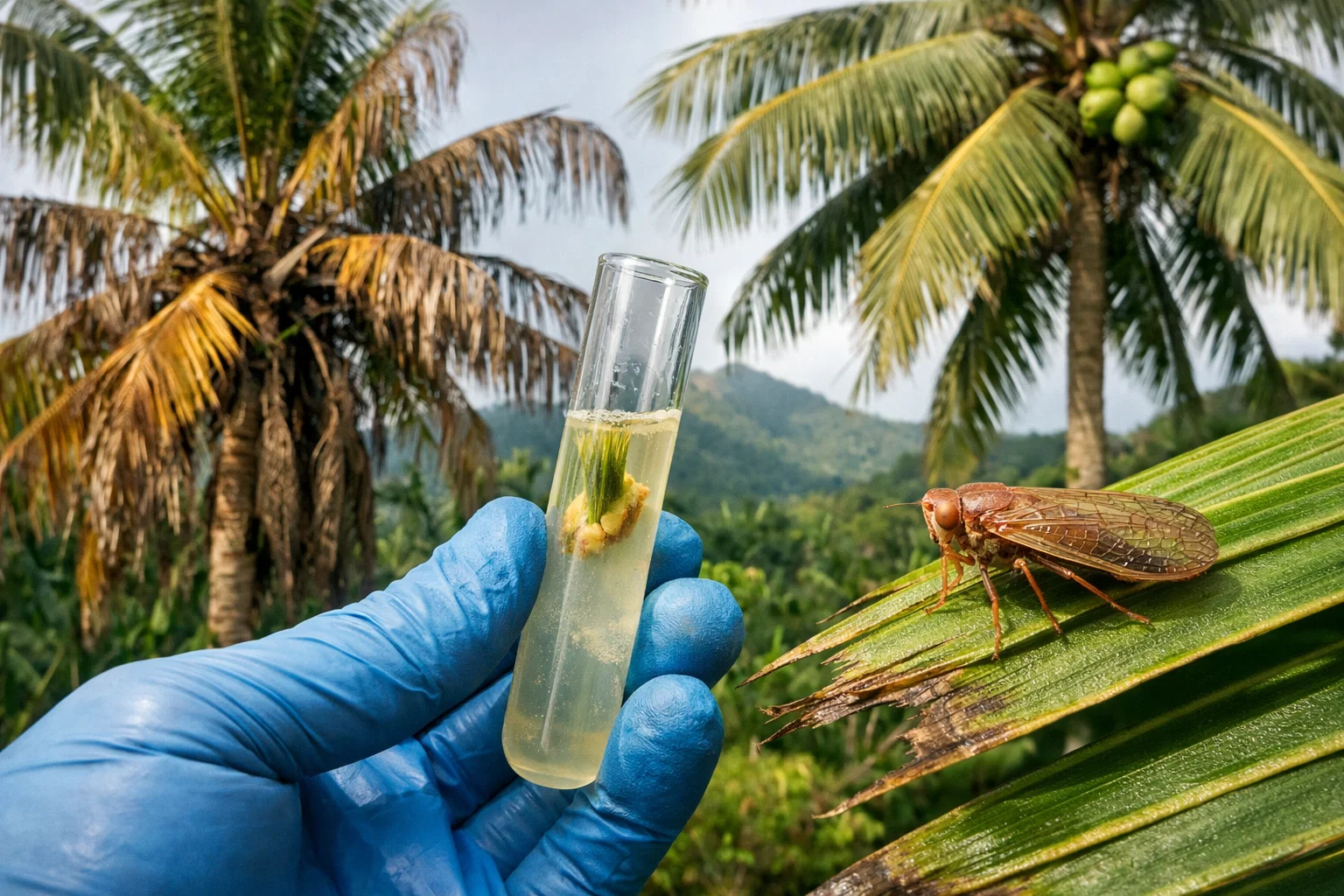
Invasive Species
The Sargassum influx at river mouths (particularly on the East Coast) can sometimes lead to brackish water intrusion in the lower reaches of rivers like the Pagua and Rosalie during high tide.
Note on Safety: Many of Dominica’s rivers, such as the White River in the south, are “volcanic” and contain high sulfur or mineral content. While beautiful to visit (e.g., Victoria Falls), these are not used for the municipal potable water supply.


