



Blenheim River
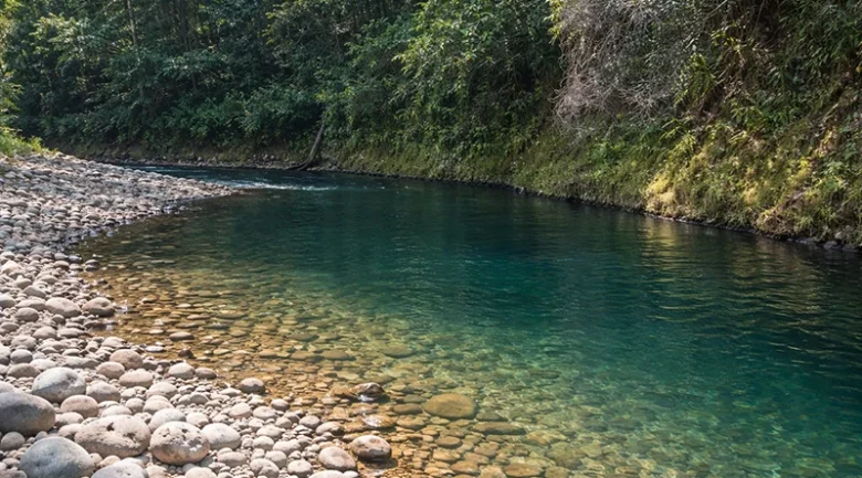
The Blenheim River is a significant watercourse in Saint Andrew Parish of Dominica. Measuring approximately 5 km in length, it is recognised as one of the ten largest rivers on the island. The river serves as a vital component of the northeastern freshwater ecosystem, flowing through a landscape defined by dense tropical forests and active agricultural lands.
Hydrography and Course
The Blenheim River originates in the rugged interior of the St. Andrew Parish. It follows a northeasterly course, passing near the inland village of Dos D’Âne. A major hydrological feature of this system is the confluence with Camps Elysees River, Beauplan River, Bras De Fort River, and Grand Riviére.
As it nears the coast, the river flows past the village of Anse De Mai before eventually draining into the Atlantic Ocean at Blenheim Bay, near the historic Blenheim Estate.
Geographic Course and Settlements
From its upper reaches near Dos D’Âne, the river meanders in a northeasterly direction. It flows through a valley that encompasses the settlements of La Source and Polinier, running roughly parallel to the La Source Road and Melville Hall – Portsmouth Road, which serves as the main artery connecting the Douglas-Charles Airport area to the town of Portsmouth. The river eventually enters the flatter coastal terrain of the Blenheim Estate, a region historically significant for its large-scale agricultural production.
Environmental and Economic Significance
The Blenheim River valley is characterised by lush vegetation and fertile alluvial soils, which have historically supported the Blenheim Estate. Today, the area remains a productive agricultural zone. Apart from its economic utility, the river is noted for its natural beauty and remains a representative example of the untouched, high-volume watercourses that define Dominica’s “Land of 365 Rivers” identity.


