




Waitukubuli National Trail (WNT)
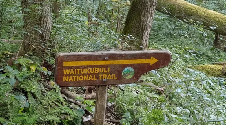
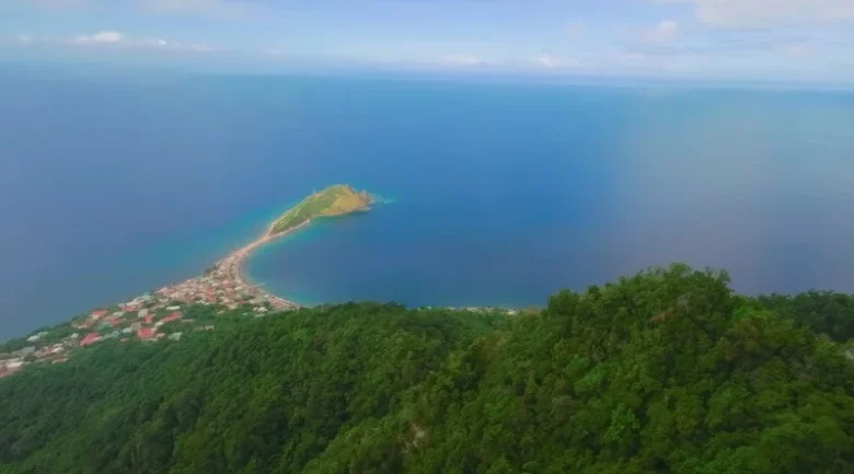
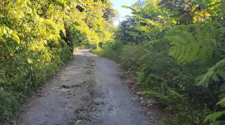
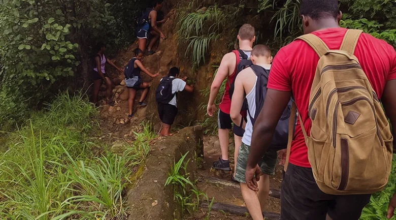
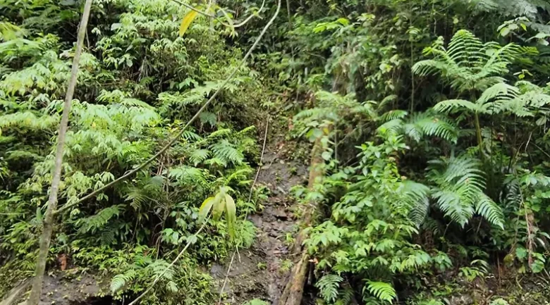
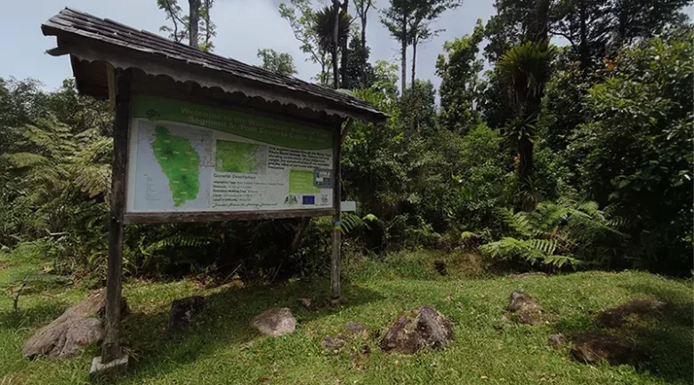
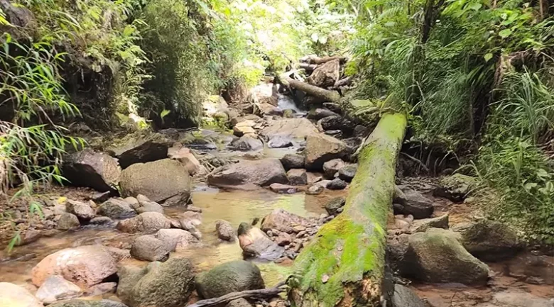
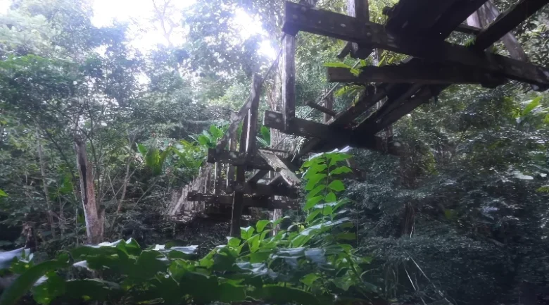
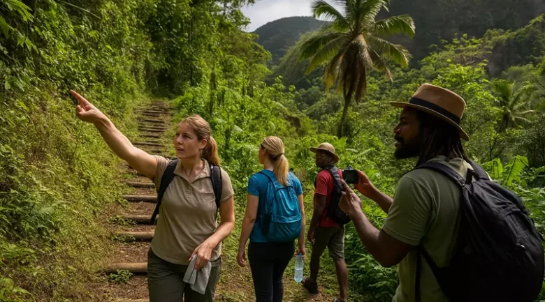
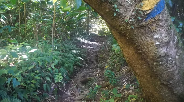
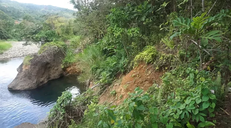
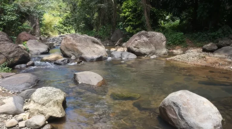
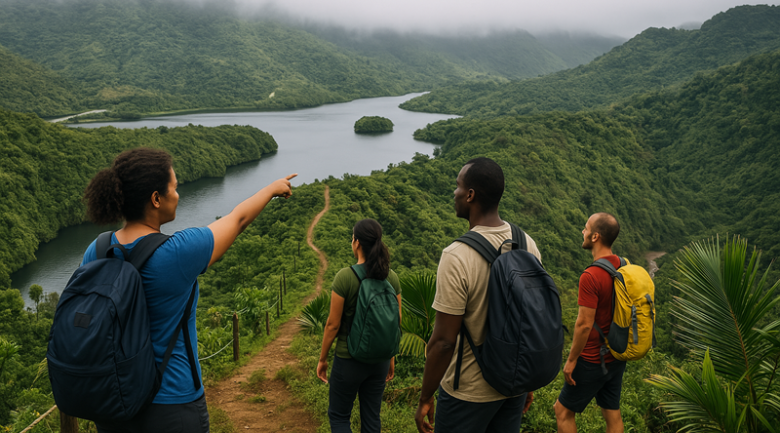
Dominica’s varied terrain offers one of the Caribbean’s most memorable long-distance hiking routes, with the Waitukubuli National Trail (WNT) guiding hikers from the volcanic ridges of Scotts Head to the historic landscape surrounding Cabrits National Park.
Overview of the Trail’s Island-Wide Character
Spanning approximately 185 kilometres, the Waitukubuli National Trail is recognised as the Caribbean’s longest hiking trail. The route traverses mountain ridges, fertile valleys, rainforests, sulphur springs, coastal pathways, and farming communities, providing travellers with a comprehensive experience of Dominica’s natural heritage and cultural landscape. The trail is divided into fourteen official segments, each distinguished by unique ecological features, landmarks, and community interactions.
The trail reflects Dominica’s dynamic topography, ascending from sea level to high elevations and descending into various communities. Travellers encounter steaming valleys, river gorges, diverse flora and fauna, traditional cocoa estates, agricultural activity, and viewpoints that connect the Caribbean Sea and Atlantic Ocean. The route may be completed in its entirety, segment by segment, or explored in individual sections according to hikers’ interests, fitness, and available time. In addition to its scenic value, the trail serves as a social corridor, linking ridge settlements, rural communities, farmlands, and villages throughout Dominica’s interior and coastline.
Segment Breakdown of the Waitukubuli National Trail
The fourteen segments of the Waitukubuli National Trail extend from volcanic coastal landscapes through mountain villages and toward the island’s northern slopes. Each segment is characterised by distinct ecological features and cultural attributes, resulting in a continuous route that evolves in terrain, vegetation, and community engagement.
Segment #1: Scotts Head to Soufrière
Segment #1 of the trail covers 6.6 kilometres from Scotts Head to Soufrière Estate, beginning on the narrow Scotts Head Peninsula shaped by volcanic forces. It crosses sulphur deposits, passes the Soufrière Sulphur Springs, Toloulou Valley, and Morne Crabier Plateau, and traverses remnants of old agricultural production, such as historic coffee estate grounds. Birdlife is common in coastal forests, with sightings of the Brown Pelican and Magnificent Frigatebird. The segment ends in Soufrière, known for its hot springs and community life.
Segment #2: Soufrière to Bellevue Chopin
Segment #2 climbs from coastal heat into mountain air across 12.1 kilometres. It passes bubbling geothermal features, crosses the Soufrière River and moves into rainforest belts with orchids, bromeliads and tall hardwood trees. Wildlife occasionally includes Manicou and hummingbirds. The final ascent leads toward Bellevue Chopin, an area recognised for organic farms, fresh produce and the vibrancy of its markets.
Segment #3: Bellevue Chopin to Wotten Waven
Segment #3 travels 12.8 kilometres through areas renowned for floral cultivation. Villages such as Giraudel and Eggleston showcase plant nurseries and gardens that colour the trail. Views of Morne Anglais accompany hikers as they pass small farms and forested slopes. Ravine Canari adds freshwater crossings. The route finishes in Wotten Waven, a village celebrated for its natural sulfur spas.
Segment #4: Wotten Waven to Pont Cassé
Segment #4 extends 13.3 kilometres through Morne Trois Pitons National Park. With an optional detour to the famous Trafalgar Falls, the path crosses the Roseau River. It moves through rainforest rich with Dominica’s national bird (Sisserou Parrot) and frequent sightings of its cousin, the Jaco Parrot. Towering Gommier trees line much of this segment. It concludes at the Pont Cassé Roundabout, a major central junction.
Segment #5: Pont Cassé to Castle Bruce
Segment #5 covers 17.4 kilometres and travels between the Central Forest Reserve and the boundaries of Morne Trois Pitons National Park. The route offers mountain views, river crossings, and glimpses of Warner River, River Deux Branches, and the Laurent River. Highlights include the Emerald Pool area and coastal viewpoints near Castle Bruce Road. The segment ends near Richmond Estate on the Atlantic side in Castle Bruce.
Segment #6: Castle Bruce to Hatton Garden
Segment #6 spans 14.4 kilometres along Dominica’s east coast, passing through portions of the Kalinago Territory. Hikers cross flowing waterways such as the Richmond River and the Salybia River and see communities where traditional practices remain part of everyday life. Views of Morne Fraser and Morne La Source appear along the trail, which ends at Hatton Garden. Cultural engagement forms part of this segment’s appeal, from village sites to coastal scenery.
Segment #7: Hatton Garden to First Camp
Segment #7 covers 8.9 kilometres and leads into the Northern Forest Reserve. Thick rainforest, tall tree ferns and remarkable elevations define the environment. Wildlife includes sightings of Agoutis and the rare Mountain Chicken frog. The landscape is quiet, remote and exceptionally green. The segment ends at First Camp, a historically used rest point.
Segment #8: First Camp to Petite Macoucherie
Segment #8 runs approximately 14 kilometres through the Morne Diablotin National Park, where the terrain becomes steep and the forest transitions into montane and elfin woodland. Melville Hall River and Macoucherie River cross the route, making for a challenging adventure. Views of Dominica’s highest mountain appear at intervals, while hummingbirds move among the canopy. The segment ends near Petite Macoucherie.
Segment #9: Petite Macoucherie to Colihaut Heights
Segment #9 covers about 12.8 kilometres and passes through agricultural zones, including the community of Coulibistrie. The Coulibistrie River adds a freshwater presence. The landscape gradually lowers in elevation, opening views of the Caribbean Sea. The segment concludes at Colihaut Heights overlooking the surrounding villages.
Segment #10: Colihaut Heights to Syndicate
Segment #10 stretches approximately 7 kilometres toward the Syndicate Nature Preserve, an area well known for viewing the endangered bird species. Crossing the Dublanc River, the trail enters dense forest where interpretive signs highlight ecological features. The route ends at the Syndicate Visitor Centre.
Segment #11: Syndicate to Borne
Segment #11 measures about 13.2 kilometres, weaving between forest zones and small farming communities. Villages such as Bioche offer chances to see local agriculture, fruit trees and homesteads. Streams appear along the route, providing shaded rest spots. The segment ends in Borne.
Segment #12: Borne to Penville
Segment #12 covers roughly 13.5 kilometres and passes near Vieille Case. Crossing the Hampstead River, the route climbs slopes offering views of northern valleys. Occasional sightings include the Red-necked Pigeon. The segment ends in Penville.
Segment #13: Penville to Capuchin
Segment #13 spans 6.8 kilometres and passes through dry woodland and volcanic landscape. Views open toward the French islands of Marie-Galante, Les Saintes, and Guadeloupe. Tafia Falls, birds, insects and forest vegetation add variety. The walk ends in Capuchin.
Segment #14: Capuchin to Cabrits National Park
Segment #14 runs for approximately 10 kilometres through coastal communities such as Toucari, Cottage and Tanetane. The Indian River can be visited after hikers reach Cabrits National Park, where Fort Shirley and coastal marine biodiversity create a memorable end to the trail.
Additional Trails Connecting to the Main Route
Several adjoining trails intersect the Waitukubuli National Trail, granting hikers access to geological features, high mountain views or deep-valley ecosystems. Connecting routes include the Morne Diablotin trail from Segment 9, forest routes linking to Boiling Lake trail from Segment 3, Middleham Falls trail from Segments 3 and 4, and accessways toward Morne Anglais. Additional links near Laudat lead to Freshwater Lake, while trails in the Kalinago Territory appear near Segment 6.
Protected Areas and Community Engagement
The trail crosses multiple protected areas that are vital to Dominica’s ecological management system. These include Morne Trois Pitons National Park, the Northern Forest Reserve, Syndicate Nature Reserve, Morne Diablotin National Park and Cabrits National Park. Each contributes to conservation, education and habitat protection, showcasing everything from boiling volcanic features to parrots found nowhere else.
The trail facilitates frequent cultural interactions. Farms, hamlets, roadside vendors, and village paths illustrate rural life along the route. Many communities assist hikers by providing local knowledge, guiding services, or refreshment stops. The trail supports local economic resilience through guided tours, homestays, produce sales, and cultural demonstrations. It also serves as a platform for cultural exchange, enabling visitors to share traditions, stories, and practices.
Practical Planning, Safety and Visitor Guidance
Preparation for the hike involves several key steps. First, secure the necessary permits and passes through the Forestry, Wildlife and Parks Division. For navigation and additional historical context, booking knowledgeable local guides is advisable, especially for difficult trail segments. Prepare for variable weather, steep terrain, and remote sections by packing essential hiking gear, such as appropriate footwear, rain protection, and navigation tools. Accommodation options range from guesthouses and homestays to campsites along the route, so plan and book these in advance. The optimal hiking season is typically from December to May, when conditions are most stable.
In addition to meeting these practical requirements, prioritise safety. Inform others of your travel itinerary, carry protective equipment, and exercise caution when crossing rivers. Observing local customs is essential, so dress modestly and be courteous toward residents in village areas. Plan your packing list to include hydration supplies, energy-boosting snacks, a first aid kit, and other essentials to ensure a safe and enjoyable hiking experience.
The Waitukubuli National Trail stands out as one of Dominica’s most remarkable outdoor adventures. Following the trail from start to finish allows you to immerse yourself in breathtaking ridges, vibrant communities, dramatic volcanic scenery, and the island’s unique natural features. Every step along the way offers opportunities to connect with both the landscape and the welcoming people who call Dominica home.


