



Melville Hall River
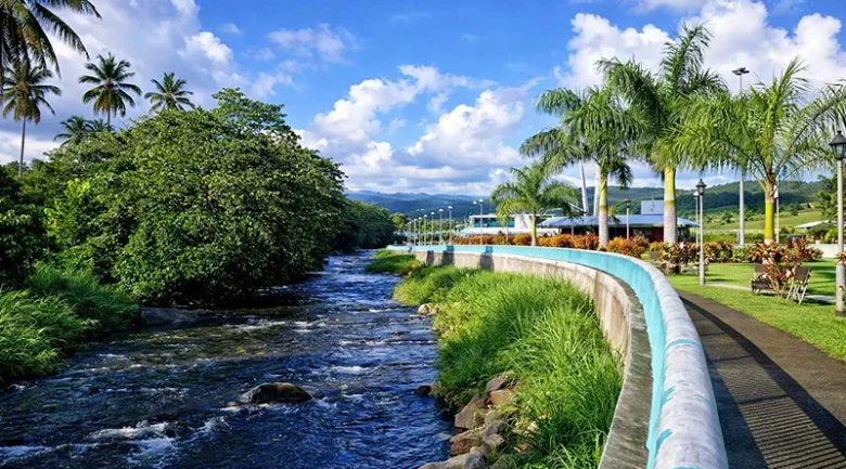
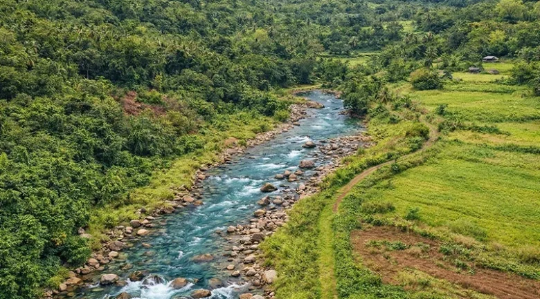
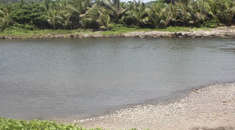
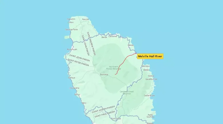
The Melville Hall River is a major waterway in Dominica that serves as a critical pulse for the island’s infrastructure and ecosystems. Also known as the Kachibona River and Clyde River, this river system is a primary feature of the Nature Island‘s northeastern landscape, winding through the rugged terrain of Marigot within Saint Andrew Parish. Its strategic importance cannot be overstated, as it runs directly alongside the Douglas-Charles Airport (DOM), the nation’s primary aviation gateway, before finally emptying into the Atlantic Ocean.
Geographic Profile and Indigenous Heritage
The river’s catchment area is one of the most active hydrological zones in the Eastern Caribbean. The river rises in the pristine heights of the Northern Forest Reserve, a vast expanse of biodiversity that acts as a giant sponge for the heavy rainfall characteristic of the Environment. The Melville Hall River catchment area is one of the most active hydrological zones in the Eastern Caribbean. As water descends from the volcanic peaks, it carries with it nutrients that sustain diverse wildlife, including the endemic Sisserou Parrot and the Jaco Parrot, which are often sighted in the riparian forests lining the river’s upper reaches.
Infrastructure Intersection: The Douglas-Charles Airport
The 1958 commissioning of what was then Melville Hall Airport permanently altered the river’s role. Today, the Douglas-Charles Airport is the nation’s primary air gateway, yet its location in a floodplain adjacent to the river poses a perpetual engineering challenge. Because the runway sits just a few meters away from the water’s edge, “river training”, the practice of directing the river’s flow, is mandatory. This intersection is critical to Dominica’s Economy, as any river breach can paralyse international travel and trade for weeks.
Climatic Challenges and Disaster Response
The river’s volatility is most apparent during Dominica’s Hurricane Season. On August 27, 2015, Tropical Storm Erika caused the Clyde River to burst its banks with unprecedented force. The resulting flooding deposited feet of silt onto the runway and caused over EC $40 million in damages to the terminal and airfield. This was followed in 2017 by Hurricane Maria, which again tested the river’s defenses. These events shifted the national strategy from reactive cleaning to proactive flood mitigation.
Key roles in this ongoing struggle are the Dominica Air and Sea Ports Authority (DASPA) and the Chief Technical Officer (CTO) within the Ministry of Public Works. Together, they oversee the Disaster Vulnerability Reduction Project (DVRP). This initiative involves strategically installing heavy-duty stone gabions and recurring dredging to ensure the river channel remains deep enough to handle the massive volumes of water generated during tropical depressions.
Socio-Economic Value and Eco-Tourism
Beyond its technical management, the river is a central pillar of Eco-tourism in the north east. It draws visitors for scenic hikes and birdwatching, offering a more rugged experience than the leeward coast. For the Marigot community, the river enhances traditional practices and supports local Agriculture. It remains a site for community recreation and small-scale freshwater fishing, activities that help maintain the social fabric.
Future Management and Technological Resilience
As Nature Island looks to the future, the management of Melville Hall River is evolving toward a “Ridge-to-Reef” model. This approach involves protecting the Northern Forest Reserve to slow water runoff and utilising bio-engineering techniques, such as Vetiver grass, to stabilise the banks. Furthermore, real-time telemetry sensors are being integrated into the upper watershed to provide early flood warnings, allowing the airport and local residents to prepare long before the water reaches the coast.
By balancing the demands of modern infrastructure with a deep respect for the river’s natural power, Dominica ensures that the Melville Hall River remains an asset rather than a liability for future generations.


